Géomètres et cartographie — contenu du site
24 éléments prêts pour votre site : pages, réponses aux questions des clients et articles
GratuitOfficielVersion 1.0.0
Captures d'écran
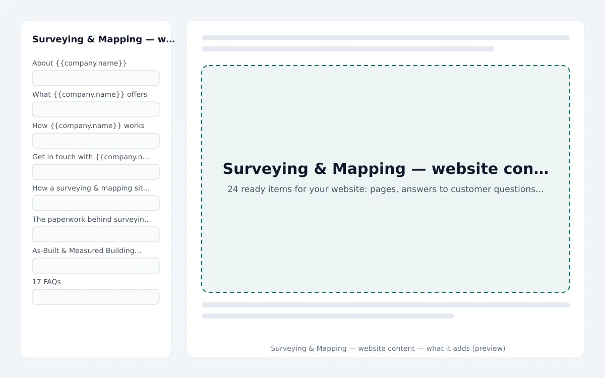
Aperçu en direct
Ce que l’installation ajoute, élément par élément, d’après le paquet signé.
Pages · 4
- About {{company.name}} · /about-us{{company.name}} is a surveying firm: boundary and topographic surveys, setting out and as-built drawings for developers, contractors and owners.
- What {{company.name}} offers · /what-we-offerThe services {{company.name}} offers in surveying & mapping, with what each one covers.
- How {{company.name}} works · /how-we-workHow a surveying & mapping case runs with {{company.name}}: the steps, the paperwork and what you can rely on.
- Get in touch with {{company.name}} · /get-in-touchHow to reach {{company.name}}, who we work with and what to include in your first message.
Questions fréquentes · 17
- How long does a boundary survey take?A day on site for a typical plot and a few days for the report; we tell you the date when we book the visit.
- What do I receive?A signed survey report with the drawings, plus CAD, PDF and, where relevant, GIS files, sent to you and to your engineer or architect.
- Do you work with my engineer or architect?Yes. We agree the coordinate system and the deliverables with them so the survey drops straight into their design.
- Can you survey a site that is still being built?Yes — setting out, progress surveys and as-builts are done between the contractor's activities, usually early in the morning.
- What do you need from us to quote?The site location, the purpose of the survey and any existing drawings or plans.
- How are results delivered?As agreed in the proposal — drawings, reports and data files in the formats your team needs.
- How do I pay?You receive an invoice with the payment options listed on it — bank transfer, card where available, or cash against a receipt.
- What does {{company.name}} offer?{{company.name}} offers Boundary & Plot Survey, Topographic Survey, Setting Out for Construction, Drone Mapping & Volumes, As-Built & Measured Building Survey and Settlement & Movement Monitoring.
- What does Boundary & Plot Survey include?Plot corners located and marked, the boundary checked against the title plan and a signed survey report issued to you. It comes with corners marked on site; checked against the title plan; signed report.
- What does Topographic Survey include?Levels, features, trees, services and existing structures captured and drawn as a CAD base for design, priced per hectare. It comes with levels and features; CAD base for design; contours and sections.
- What does Setting Out for Construction include?Gridlines, foundations, columns and levels set out on site from the drawings, with a setting-out record for the contractor. It comes with from the approved drawings; setting-out record; repeat visits per stage.
- What does Drone Mapping & Volumes include?Orthophotos, 3D models and volume calculations of sites, stockpiles and quarries, flown and processed within days. It comes with orthophoto and 3D model; stockpile volumes; repeat flights for progress.
et 5 de plus
Articles de blog · 3
- How a surveying & mapping site visit runs, step by stepA step-by-step look at how a typical site visit runs at {{company.name}}: instrument calibration due, reminder, calibrated and what follows.
- The paperwork behind surveying & mapping workquotation, letter of authorisation and invoice and more: the documents you may meet when working with {{company.name}}, explained.
- As-Built & Measured Building Survey: what is included and how it worksFloor plans, elevations and sections of existing buildings, or as-built drawings at handover, delivered as CAD and PDF. What As-Built & measured building survey includes, how it is set up and how to a
Catégories · 3
- Guides · post
- How we work · post
- Questions answered · post
À propos
Contenu de site rédigé pour Géomètres et cartographie. L’installation ajoute ce que votre site n’a pas encore — les pages de même adresse restent telles quelles — et reprend le nom de votre entreprise et vos coordonnées depuis vos réglages. Tout reste modifiable ensuite.
Avis
Seuls les espaces de travail qui ont installé cette extension peuvent laisser un avis.
Aucun avis pour l'instant.
Questions et réponses
Posez vos questions avant d’installer — le vendeur répond ici, à la vue de tous.
Aucune question pour l’instant — soyez le premier à demander.
Vous aimerez aussi
Artisans et services à domicile — contenu du site
Packs de contenu · par l'équipe zmle
19 éléments prêts pour votre site : pages, réponses aux questions des clients et articles
Blanchisserie et pressing — contenu du site
Packs de contenu · par l'équipe zmle
23 éléments prêts pour votre site : pages, réponses aux questions des clients et articles
Collecte des déchets et location de bennes — contenu du site
Packs de contenu · par l'équipe zmle
23 éléments prêts pour votre site : pages, réponses aux questions des clients et articles
Cordonnerie — contenu du site
Packs de contenu · par l'équipe zmle
22 éléments prêts pour votre site : pages, réponses aux questions des clients et articles