Screenshots
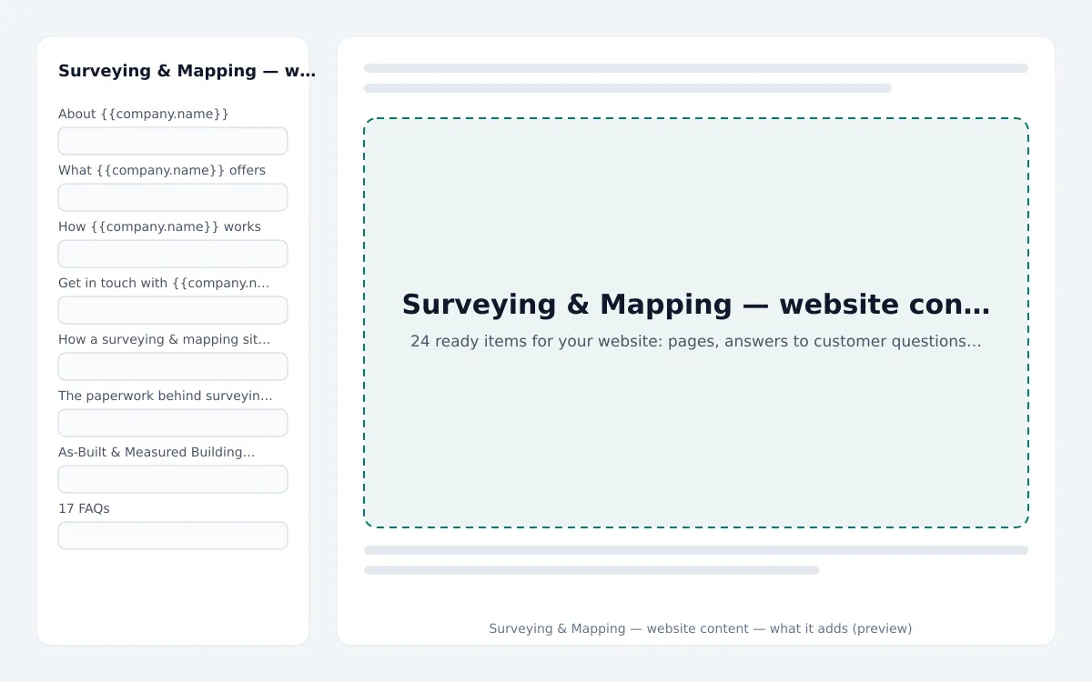
Live preview
What installing it adds, item by item, from the signed package.
Pages · 4
- About {{company.name}} · /about-us{{company.name}} is a surveying firm: boundary and topographic surveys, setting out and as-built drawings for developers, contractors and owners.
- What {{company.name}} offers · /what-we-offerThe services {{company.name}} offers in surveying & mapping, with what each one covers.
- How {{company.name}} works · /how-we-workHow a surveying & mapping case runs with {{company.name}}: the steps, the paperwork and what you can rely on.
- Get in touch with {{company.name}} · /get-in-touchHow to reach {{company.name}}, who we work with and what to include in your first message.
FAQs · 17
- How long does a boundary survey take?A day on site for a typical plot and a few days for the report; we tell you the date when we book the visit.
- What do I receive?A signed survey report with the drawings, plus CAD, PDF and, where relevant, GIS files, sent to you and to your engineer or architect.
- Do you work with my engineer or architect?Yes. We agree the coordinate system and the deliverables with them so the survey drops straight into their design.
- Can you survey a site that is still being built?Yes — setting out, progress surveys and as-builts are done between the contractor's activities, usually early in the morning.
- What do you need from us to quote?The site location, the purpose of the survey and any existing drawings or plans.
- How are results delivered?As agreed in the proposal — drawings, reports and data files in the formats your team needs.
- How do I pay?You receive an invoice with the payment options listed on it — bank transfer, card where available, or cash against a receipt.
- What does {{company.name}} offer?{{company.name}} offers Boundary & Plot Survey, Topographic Survey, Setting Out for Construction, Drone Mapping & Volumes, As-Built & Measured Building Survey and Settlement & Movement Monitoring.
- What does Boundary & Plot Survey include?Plot corners located and marked, the boundary checked against the title plan and a signed survey report issued to you. It comes with corners marked on site; checked against the title plan; signed report.
- What does Topographic Survey include?Levels, features, trees, services and existing structures captured and drawn as a CAD base for design, priced per hectare. It comes with levels and features; CAD base for design; contours and sections.
- What does Setting Out for Construction include?Gridlines, foundations, columns and levels set out on site from the drawings, with a setting-out record for the contractor. It comes with from the approved drawings; setting-out record; repeat visits per stage.
- What does Drone Mapping & Volumes include?Orthophotos, 3D models and volume calculations of sites, stockpiles and quarries, flown and processed within days. It comes with orthophoto and 3D model; stockpile volumes; repeat flights for progress.
and 5 more
Blog posts · 3
- How a surveying & mapping site visit runs, step by stepA step-by-step look at how a typical site visit runs at {{company.name}}: instrument calibration due, reminder, calibrated and what follows.
- The paperwork behind surveying & mapping workquotation, letter of authorisation and invoice and more: the documents you may meet when working with {{company.name}}, explained.
- As-Built & Measured Building Survey: what is included and how it worksFloor plans, elevations and sections of existing buildings, or as-built drawings at handover, delivered as CAD and PDF. What As-Built & measured building survey includes, how it is set up and how to a
Categories · 3
- Guides · post
- How we work · post
- Questions answered · post
About
Starter pages, FAQs, blog posts and e-mail templates for surveying & mapping: about, services, how we work and contact pages, 17 FAQs and 3 guides, built from this trade's own services and workflows. English; no legal pages (use the legal centre). Website content written for Surveying & Mapping. Installing adds what your website does not have yet — pages with the same address stay as they are — and fills in your company name and contact details from your settings. Everything can be edited afterwards.
Reviews
Only workspaces that installed this extension can review it.
No reviews yet.
Questions & answers
Ask before you install — the seller answers here, for everyone to read.
No questions yet — be the first to ask.
You may also like
Auto Garage & Workshop — website content
Content packs · by the zmle team
24 ready items for your website: pages, answers to customer questions and articles
Bike Leasing — website content
Content packs · by the zmle team
24 ready items for your website: pages, answers to customer questions and articles
Bike Shop — website content
Content packs · by the zmle team
24 ready items for your website: pages, answers to customer questions and articles
Car Wash & Detailing — website content
Content packs · by the zmle team
23 ready items for your website: pages, answers to customer questions and articles